
Forestry Mulching
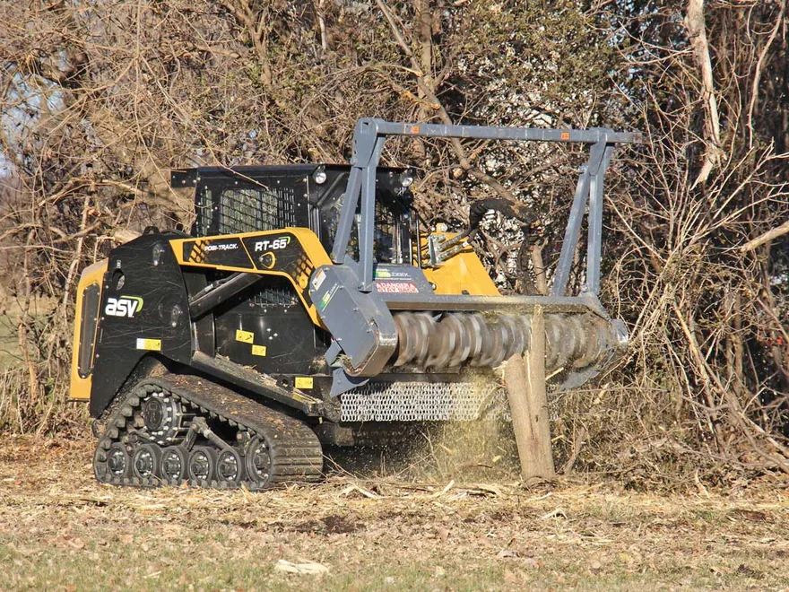
The mulching head on our skid steer grinds brush and small trees into mulch that stays on the ground. The oaks and mottes you mark stay standing.
Learn More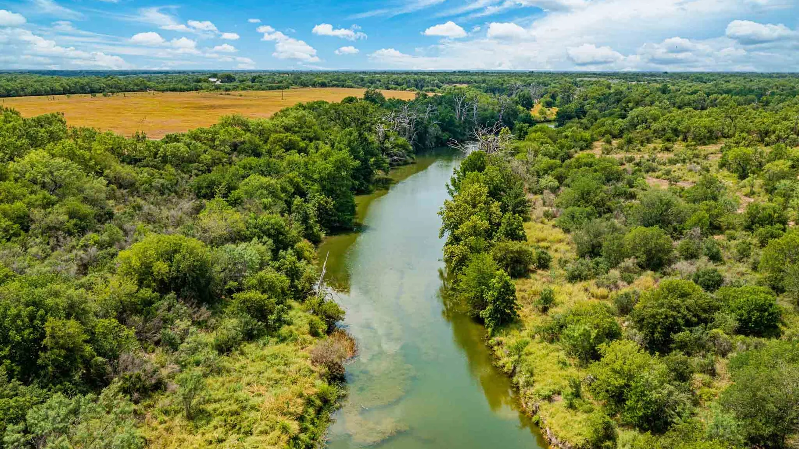
Land clearing in Uvalde means working where two kinds of country meet. The city's history page puts Hill Country and river canyons to the north and flat brushland to the south. On the limestone hills, cedar (Ashe juniper) closes in around the live oak. On the clay flats, mesquite and whitebrush crowd out the grass.
Iron Steer Land Services clears land with a skid steer, and Uvalde is part of our service area. That area runs from the border up to the edge of the Hill Country, and Uvalde sits on that edge. Here we bring forestry mulching to cedar on the hills and to brush on the flats. Call or text (956) 206-3992, and we look at the land and put the quote in writing.
Tell us about the land and the work it needs. We look at the land or your photos of it, then put the quote in writing.
The Edwards Plateau covers the northern third of Uvalde County, the Handbook of Texas says. Its trees include live oak, shinnery oak, red oak and juniper. The federal soil survey describes the shallow Real soil from a site in Garner State Park, up US 83. Its native cover is an oak savanna of tall and mid grasses.
Under heavy grazing, the same soil notes say, Ashe juniper thickens into a dense stand. The USDA Forest Service adds that deer favor a mix of open stands and grassland. On a cedar-choked hillside, the mulching head grinds the cedar where it stands. The live oaks and mottes you mark stay, and the mulch covers the ground.
Texas Parks and Wildlife (TPWD) says the endangered golden-cheeked warbler nests only in mixed Ashe juniper and oak canyon woodland. It arrives in March and leaves in July. If your canyon land holds tall, old cedar among the oaks, talk with TPWD before that work is planned.
Uvalde clay loam covers more than half of the city's mapped land, and the soil carries the town's name. The federal soil survey describes it as very deep soil on stream terraces below limestone hills. Its native cover is grass. As the range wears down, mesquite, guajillo, whitebrush and prickly pear move in.
Montell clay covers about a fifth of the ground within 7 miles of town, and mesquite invades it too. The USDA Forest Service says mesquite buds sit mostly 2 to 6 inches below the soil surface. Cut off only the top, and the plant sprouts again. So our brush clearing pairs the mulching head with rippers that root plow ground meant to stay open.
Close to a fifth of the ground near town sits over hard caliche, most of it Olmos soil. The soil survey describes Olmos from a site about 5 miles east of town on FM 1023. That caliche sits 4 to 20 inches down and slows the auger on post holes for a ranch fence. Montell clay cracks when dry and takes water slowly once the cracks close.
Five rivers cross Uvalde County, from the Nueces on the west to the Sabinal on the east. The Leona River rises north of Uvalde and flows southeast past the town and Batesville, the Handbook of Texas says. The Edwards Aquifer Authority names Leona Springs in Uvalde County as one of the aquifer's outlets. It says Uvalde was founded around large springs from the aquifer.
Parts of Uvalde County lie in the Edwards Aquifer zones that the TCEQ, the state environmental agency, regulates. There, the TCEQ lists land clearing as regulated work that needs an approved plan before soil is disturbed. Its rules leave out clearing plants without disturbing the soil, and root plowing does disturb it. The TCEQ map viewer and its San Antonio office answer that question for a given tract.
About 5 percent of the city's mapped land is Oakalla soil, which floods briefly after heavy rains. The city and the county both take part in the federal flood insurance program. Their current flood maps date from November 4, 2010. Before you build on low ground in town, ask the floodplain manager at City Hall.
The 2022 Census of Agriculture counts 580 farms and ranches in Uvalde County, with about 805,000 acres of pasture. The average place runs 1,712 acres, and 105 of them run 1,000 acres or more. Smaller places are common too: 131 run 10 to 49 acres.
The Handbook of Texas calls the canyon country of the upper Nueces a draw for white-tailed deer and turkey hunters. Around Montell, it says, land goes mainly to ranching and hunting. On a hunting tract, sendero clearing opens lanes for feeders and stands, and root plowing keeps them clear.
Census estimates for 2025 put about a third of the county's 24,963 people outside the Uvalde and Sabinal city limits. Around a rural homesite, we clear the brush that closes in on the house and the pens.
Communities and areas we serve around Uvalde: Fort Inge, Uvalde Estates, Leona River, Knippa, La Pryor, Sabinal, Batesville, Concan, Reagan Wells, Montell, Utopia, US 83 and US 90.
Uvalde ZIP codes served: 78801, 78802.
Uvalde is part of our service area. We look at the land first, then put the quote in writing.
(956) 206-3992 The mulching head on our skid steer grinds brush and small trees into mulch that stays on the ground. The oaks and mottes you mark stay standing.
Learn More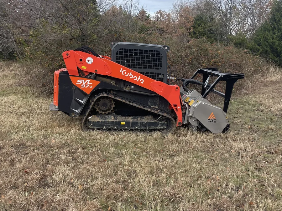
We clear mesquite, huisache, blackbrush and prickly pear from overgrown pasture and lots. The mulching head grinds the brush where it stands, and the rippers root plow what must stay open.
Learn More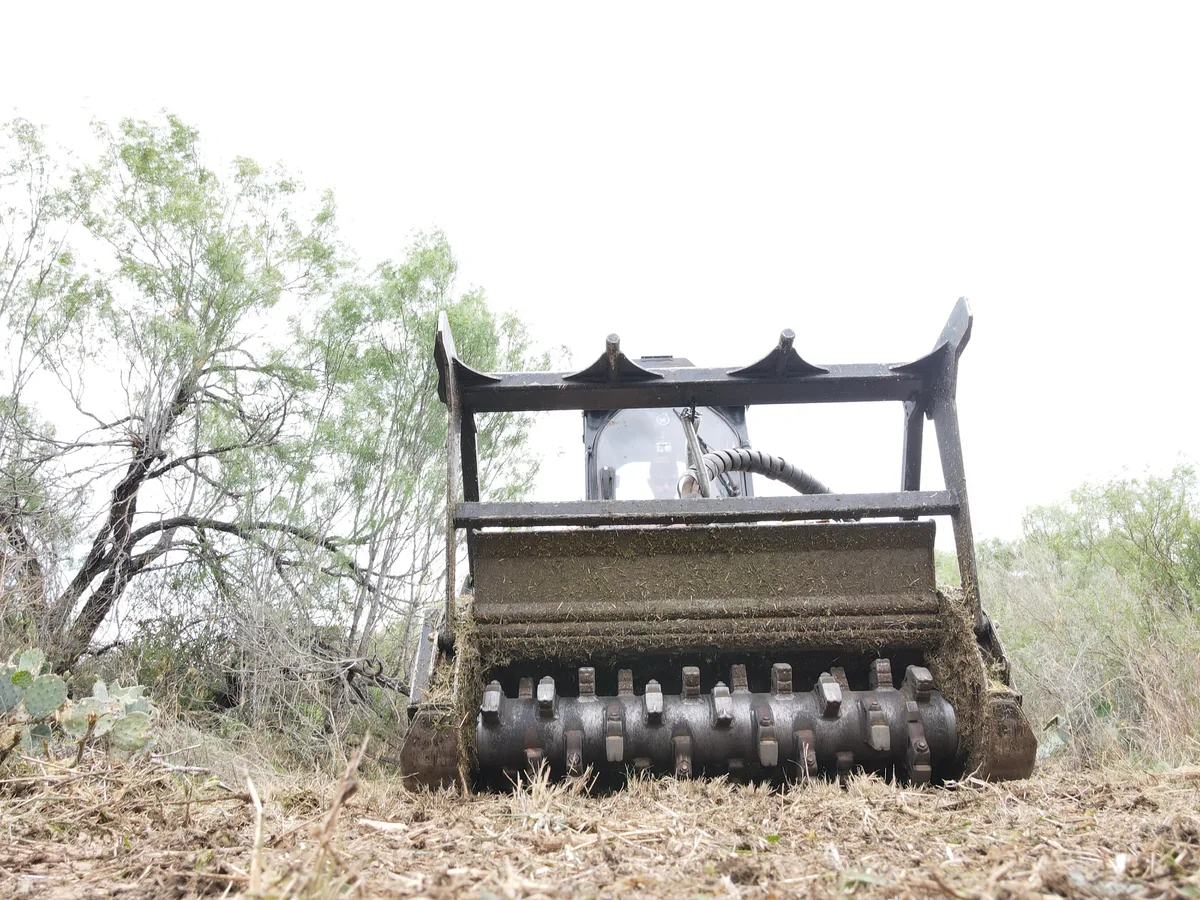
We cut new senderos and re-open old ones on hunting ranches around Laredo. The mulching head clears the lane, and the rippers root plow it where it needs to stay open.
Learn More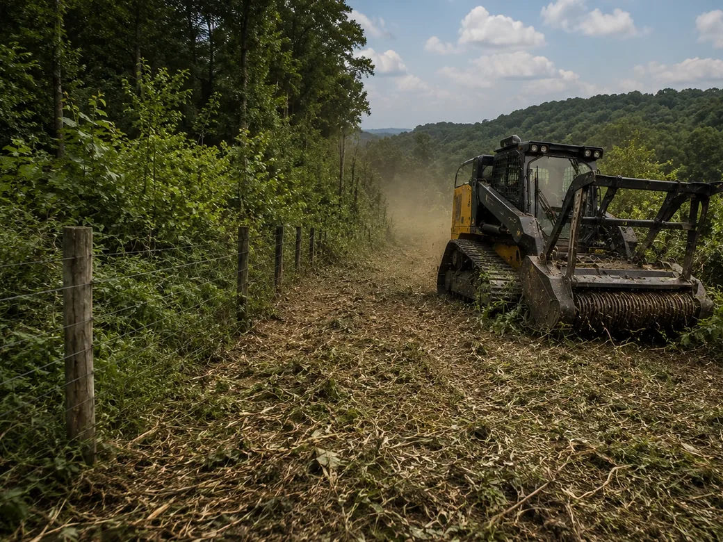
We clear mesquite and brush off old fence lines and cut the path for new ones. New lines get root plowed before the fence crew comes.
Learn More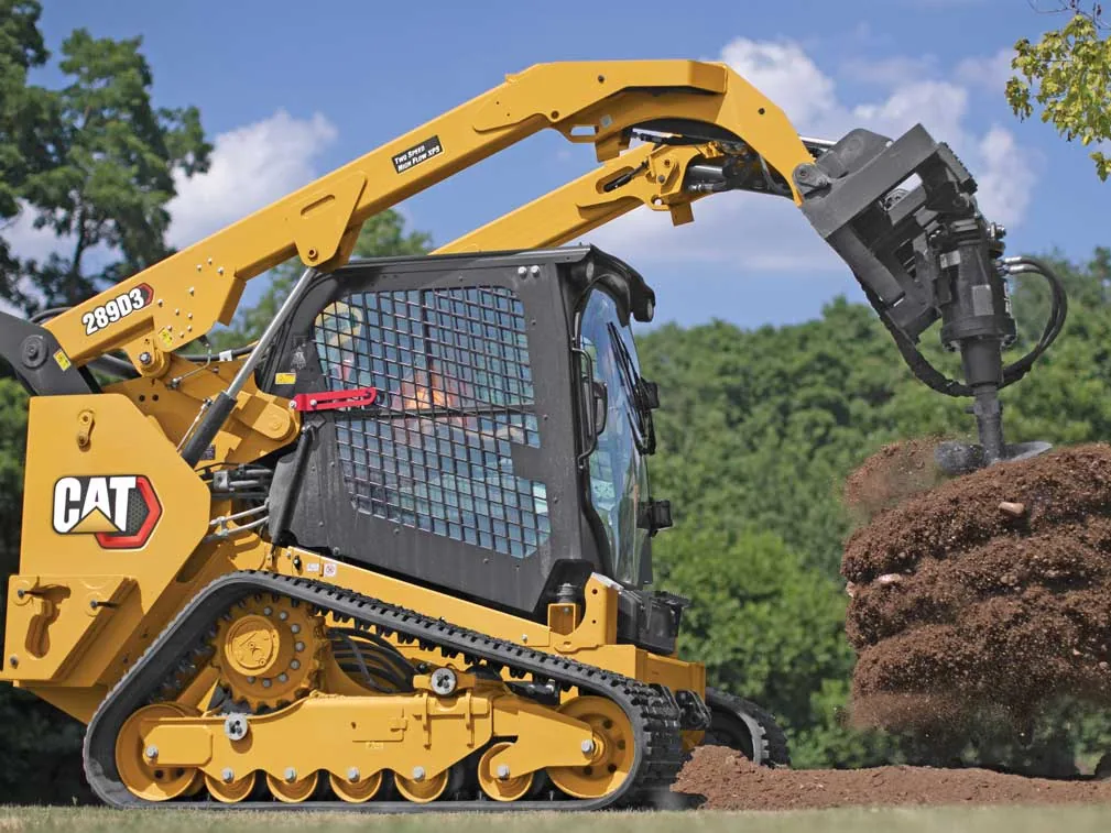
The auger on our skid steer drills fence post holes for ranch fences, game fences, pens and gates. Your fence builder gives the spacing and depth, and we drill to it.
Learn More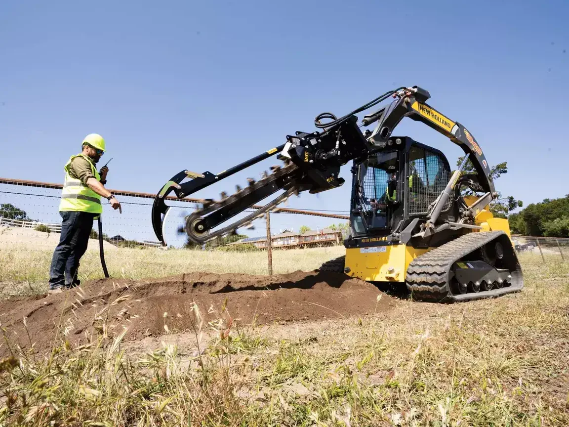
The trencher on the skid steer cuts trenches for water lines and electric runs on ranches and rural land. Your plumber or electrician marks the route and the depth, and we cut to match.
Learn More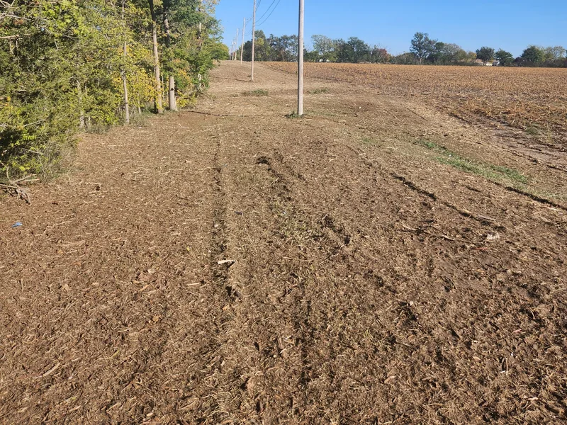
We clear and mulch brush along pipeline rights of way and around pads in the Eagle Ford. A smaller operator or a big crew with overflow work gets an extra machine.
Learn More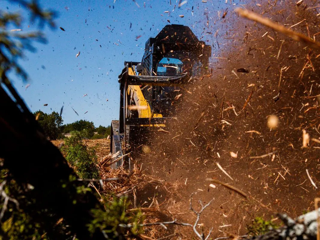
The mulching head and rippers on our skid steer do the brush work a Texas wildlife management plan calls for. You write the plan, alone or with a biologist, and we clear to the acres and pattern it lists.
Learn MoreA few of the questions we hear most around Uvalde. If yours is not here, call or text and ask.
Tell us where the property is and the work it needs, and send photos if you have them. Call or text (956) 206-3992 or use the form, and we will get back to you.
Tell us about the land and the work it needs. We look at the land or your photos of it, then put the quote in writing.